

The challenge
Fields aren't uniform. Applying the same fertilizer rate everywhere means overspending in some areas and under-feeding others, and soil health can decline unnoticed.
Without a map of what each part of the field needs, input decisions are guesswork.
What we do
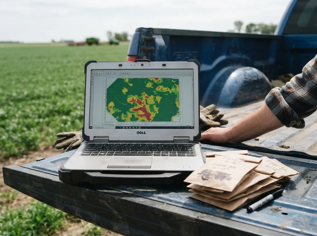
We assess soil health and fertility using GIS tools and remote sensing:
- Soil sampling and laboratory testing for key nutrients and properties
- GIS-based maps showing how fertility varies across your fields
- Satellite imagery (NDVI) to see crop and soil conditions over large areas
- Site-specific fertilizer recommendations for precision application
What you receive
- Soil test results for your fields
- Fertility maps showing variation across each field
- Site-specific fertilizer recommendations
- Advice on building soil health over time
 Work process
How it works
- Step - [01]

Field mapping:
We map your fields and plan where to sample.
- Step - [02]

Sampling and imagery:
We collect soil samples and gather satellite imagery.
- Step - [03]

Analysis:
Samples are lab-tested and combined with the imagery in GIS.
- Step - [04]

Maps and recommendations:
We deliver fertility maps and fertilizer recommendations, in a clear digital report.
Questions and answers
Questions about Soil & Nutrient Mapping
A GIS map that shows how soil fertility varies across your fields, so fertilizer can be applied where it’s needed.
Lab tests give precise readings at sample points; imagery shows conditions across the whole field. Together they give a fuller picture.
Soil test results, fertility maps and site-specific fertilizer recommendations, in a digital report.
Ideally before planting, so the results can guide your fertilizer plan for the season.